Hwange: Chawato Airfield
 Hwange, Simbabwe
Real-Time Environment
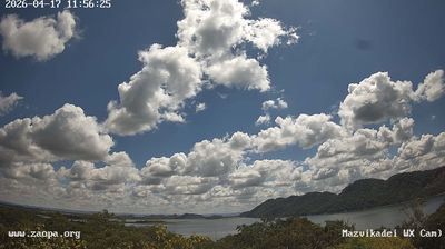
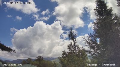
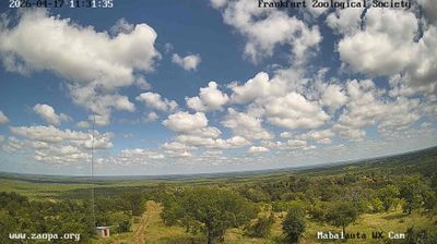
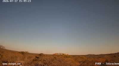
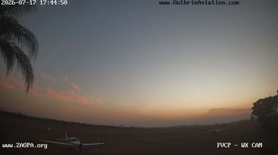
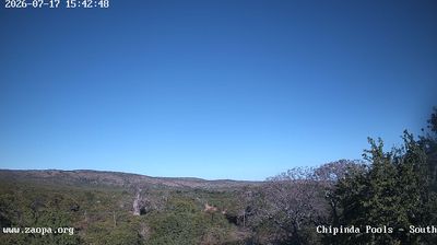
Welcome to the live streaming webcam for Hwange: Chawato Airfield, perfectly situated in the vibrant region of Hwange, Simbabwe. Watching this live camera allows you to instantly experience the local atmosphere and monitor current climate conditions.
About Hwange
Hwange, originally known as Wankie, is a town in Zimbabwe, located in Hwange District, in Matabeleland North Province, in northwestern Zimbabwe, close to the international borders with Botswana and Zambia. It lies approximately 100 kilometres (62 mi), by road, southeast of Victoria Falls, the nearest large city. The town lies on the railway line from Bulawayo, Zimbabwe's second-largest city, to Victoria Falls. Hwange sits at an elevation of 770 metres (2,530 ft), above sea level.
📖 Read more on Wikipedia📍 Location Facts
-
Country
 Simbabwe
- Region Nordmatabeleland
- City Hwange
- Coordinates -18.5130°N, 26.2726°E
Have you been to Hwange?
Help the community! Share your experience, tell us about the weather, or upload your own photos from this exact location.